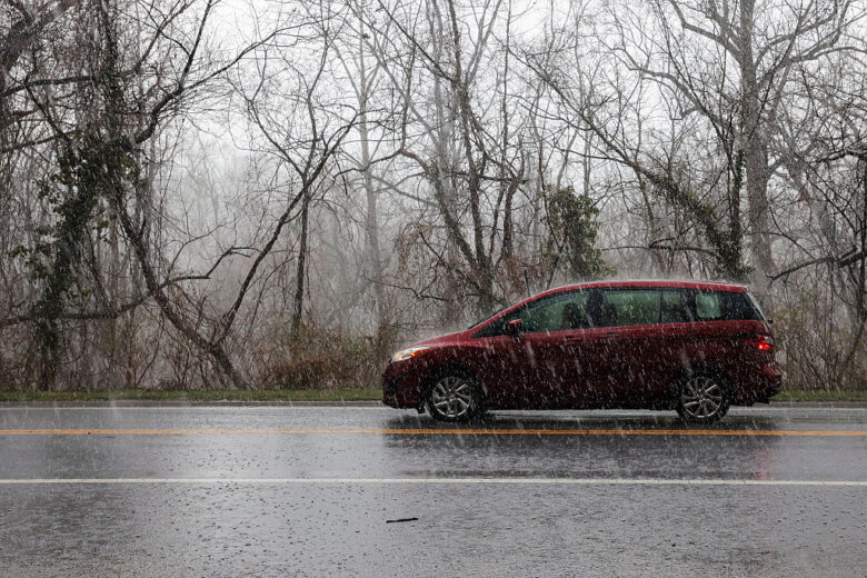
After a brief reprieve from wet and stormy weather Wednesday, the evening brings a renewed risk of flooding to a D.C. region that’s already been soaked for several days this week. 7News First Alert Chief Meteorologist Veronica Johnson told WTOP some scattered storms may resume in the afternoon and evening, with a chance of damaging winds and additional flooding. “Already, your First Alert weather team, we’re going with a storm alert,” Johnson said. “And with the potential for some higher winds, we could see some downed trees. So again, gotta stay weather aware.” The National Weather Service has issued a flood warning for the Potomac River at Little Falls, affecting the surrounding areas of Fairfax and Montgomery counties. The warning is in effect from late Wednesday night to late Friday evening. Another warning is in effect in other areas upstream along the Potomac. The river was already rising Wednesday afternoon at White’s Ferry, and the former operator of the ferry said if the water level reaches 17 feet, the basement of White’s Ferry Store and Grill will flood. Additionally, a flood watch is in effect for D.C.’s western suburbs until midnight.

To view this content from @NWS_BaltWash on X, click here.
Temperatures will continue to climb for the rest of the week, with highs around 80 Thursday and Friday — and storms are expected to continue through the end of the week. “It’s not until Sunday, when a front comes in, we finally clear out the humidity and get a reset of the atmosphere,” 7News First Alert Meteorologist Jordan Evans told WTOP. The showers are providing some much-needed relief to persistent drought conditions in the D.C. area. The rain first began Monday night. “The smaller streams are starting to crest and drop off. We know Western Maryland got hit. But a lot of the smaller streams out there are starting to come back down, so that those smaller streams are probably seeing less of impact,” the weather service’s Jeremy Geiger said. “Now, all that water is going into the Potomac, so now the Potomac is starting to rise, and it will be moving downstream toward D.C., probably late this evening, until tomorrow.” Geiger said the immediate flooding impacts are probably more upstream along the Potomac River. In Allegany County in northwestern Maryland, two elementary schools had to be evacuated due to flooding. Jonathan Dayton, spokesman for Potomac Fire Company No. 2, told WTOP the water level was over one foot high against the main entrance door at Westernport Elementary School. “Definitely a very chaotic situation,” Dayton said. “You can see in pictures two, three, four … cars in the parking lot that were just floating, due to high waters.”
- Listen to WTOP online and on the radio at 103.5 FM or 107.7 FM.
- Current traffic conditions
- Weather forecast
- Closings and Delays
- Sign up for WTOP email alerts
- Get custom alerts with the WTOP app for Apple and Android phones
FULL FORECAST
WEDNESDAY EVENING: Scattered showers and storms Temperatures: 70s to 60s Winds: Southeast 5-10 mph WEDNESDAY NIGHT: Cloudy with isolated showers and areas of fog Lows: 60s Winds: Southeast 2-5 mph THURSDAY: Morning clouds to sun, then isolated showers and storms Highs: 78-83 Winds: East 5-10 mph FRIDAY: Showers and storms likely Highs: 83-88 Winds: Southwest 5-10 mph SATURDAY: Showers and storms possible with breezy conditions Highs: 83-88 Winds: Southwest 10-20 mph SUNDAY: Mostly sunny Highs: Near 80 Winds: Northwest 5-10 mph
CURRENT CONDITIONS
Get breaking news and daily headlines delivered to your email inbox by signing up here.
© 2025 WTOP. All Rights Reserved. This website is not intended for users located within the European Economic Area.