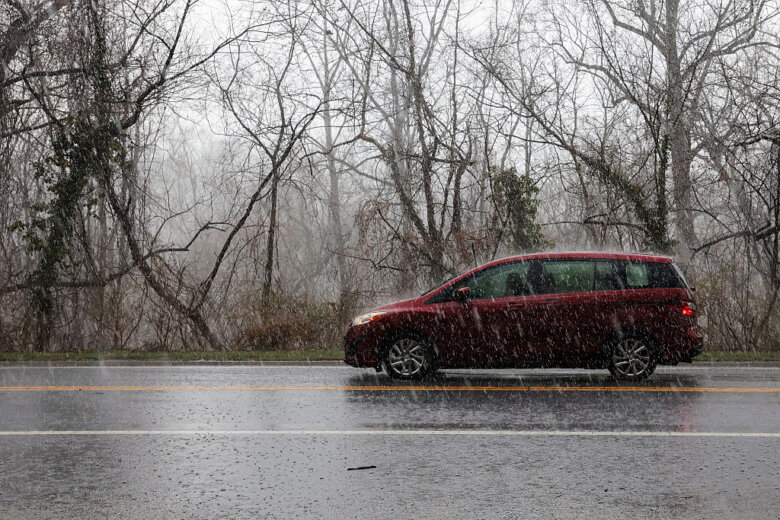
Soaring humidity could make for an especially soggy Saturday in the D.C. area.
The high humidity could fuel heavier downpours as showers and thunderstorms roll through the region, which could lead to isolated flooding. Flood risks are highest along and east of Interstate 95, so keep this in mind if your travels take you to the Eastern Shore, according to 7News First Alert Chief Meteorologist Veronica Johnson.
Discomfort from the muggy conditions might by tempered somewhat by below-average temperatures, which will reach the mid-70s to low 80s.
Additional showers and thunderstorms are expected overnight as a cold front moves into the metro area.
It will still be a humid Sunday morning, but the mugginess levels will drop later in the day as the cold front sweeps in. Look out for a highly isolated shower or storm as the drier air mass settles in, Johnson said.
Afternoon high temperatures will be in the middle 80s. Much cooler air settles in for a drier back-to-school Monday and Tuesday.
- Listen to WTOP online and on the radio at 103.5 FM or 107.7 FM.
- Current traffic conditions
- Weather forecast
- Closings and Delays
- Sign up for WTOP email alerts
- Get custom alerts with the WTOP app for Apple and Android phones
AccuWeather Forecast
SATURDAY:
Considerable clouds and humid with a couple of showers and a heavy thunderstorm; watch for flash flooding. High 78.
SATURDAY NIGHT:
An evening thunderstorm or two. Low 70.
SUNDAY:
Partial sunshine with a thunderstorm in spots; stay hydrated if attending the race festivities. High 85. Low 65.
MONDAY:
Partly sunny with a shower in the area. High 82. Low 63.
TUESDAY:
Plenty of sun. High 83. Low 66.
WEDNESDAY:
Times of clouds and sun. High 85. Low 69.
Get breaking news and daily headlines delivered to your email inbox by signing up here.
© 2026 WTOP. All Rights Reserved. This website is not intended for users located within the European Economic Area.