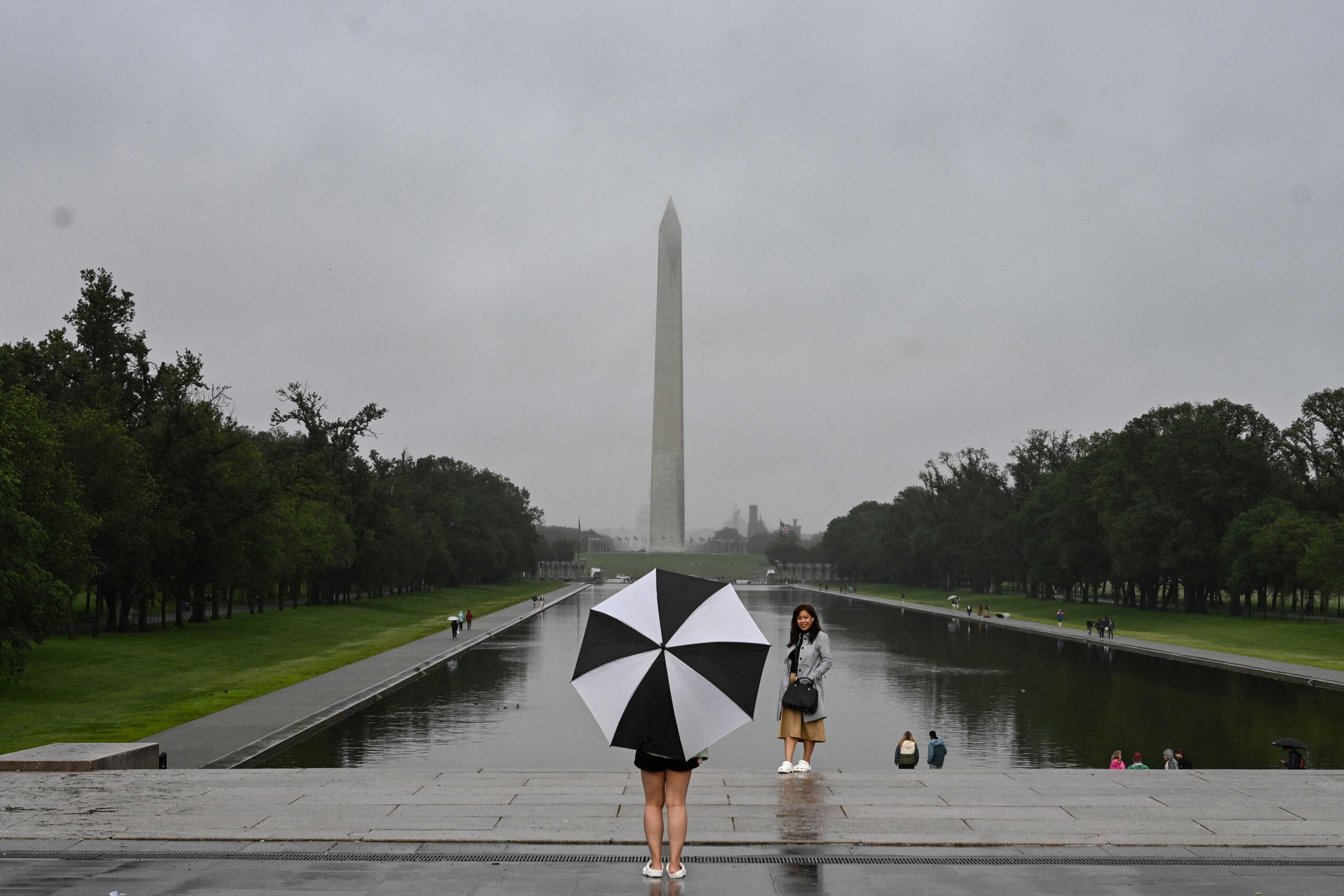
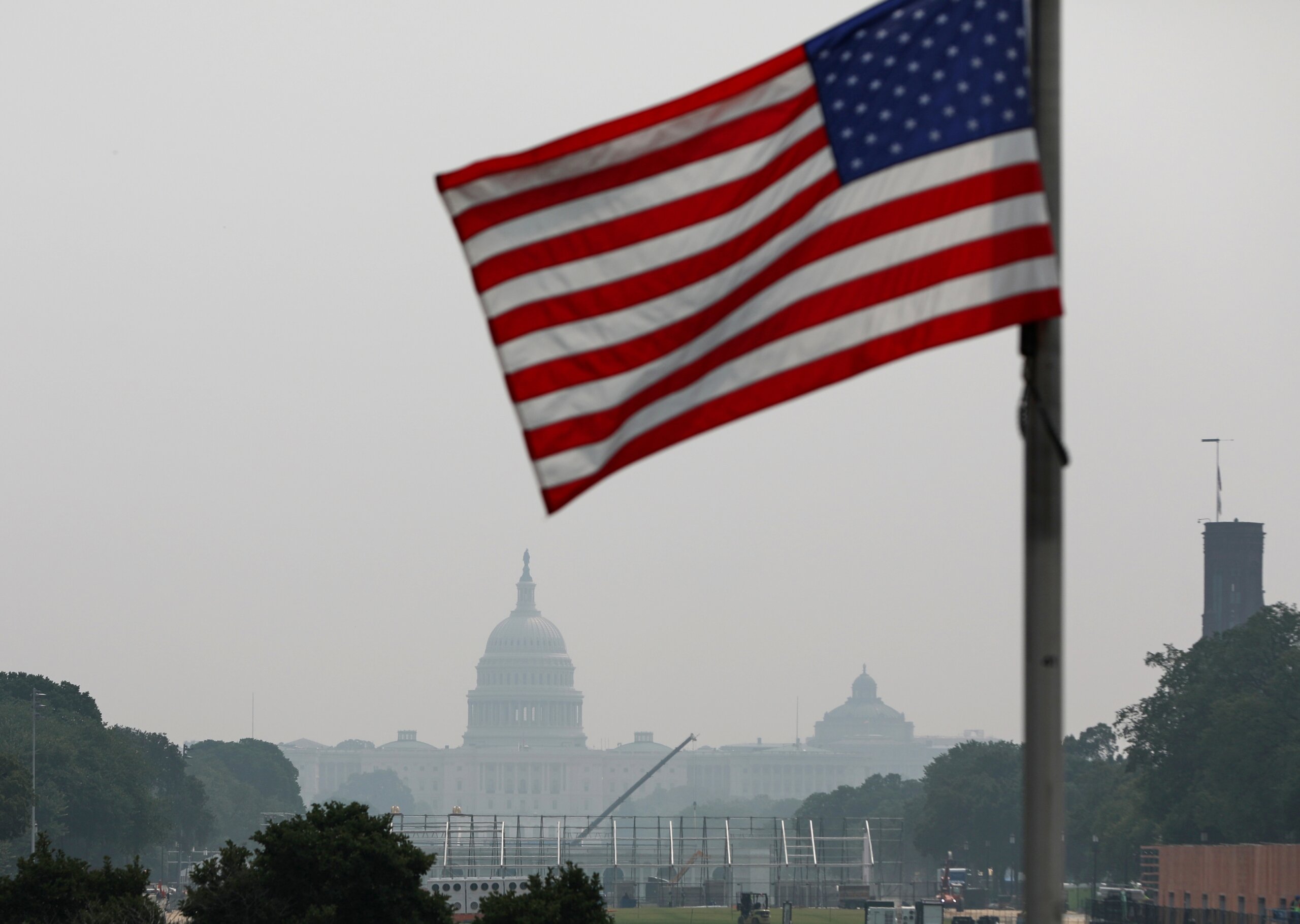
WASHINGTON — Showers and thunderstorms, some of which could be severe, could hit the D.C. area on Wednesday, potentially complicating the evening commute.
Quick Links:
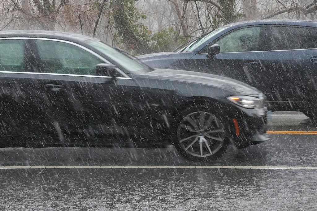
“With any of these storms expect strong winds, heavy downpours that could lead to flooding and lots of lightning,” said Storm Team 4 meteorologist Lauryn Ricketts.
Some showers and isolated storms now but it's the rain and storms in WV and PA I'm watching to bring heavy rain from 6/7 – 11PM tonight to our area. Heavy rain and gusty winds main concerns. Some isolated flooding possible in spots. pic.twitter.com/l0622vHeAa
— Amelia Draper (@amelia_draper) June 20, 2018
Areas west of D.C. are at greater risk of seeing more severe weather. The National Weather Service has issued a Flash Flood Watch for areas outside of the D.C. area in Western Maryland, eastern Western Virginia and Northern Virginia until 10 p.m.
Current Conditions
Traffic
In addition to the weather, a crash on the Woodrow Wilson Bridge has closed the Outer Loop through lanes, although Maryland State Police said they hope to have all lanes reopened by 6 p.m. For the most updated traffic report, visit WTOP’s traffic center. You can see a map of the latest traffic conditions below. [google_map latitude=”38.8915134″ longitude=”-77.0103846″ zoom=”13″ height=”300px” location_label=”The White House” dynamic_map=”true”]