Related stories
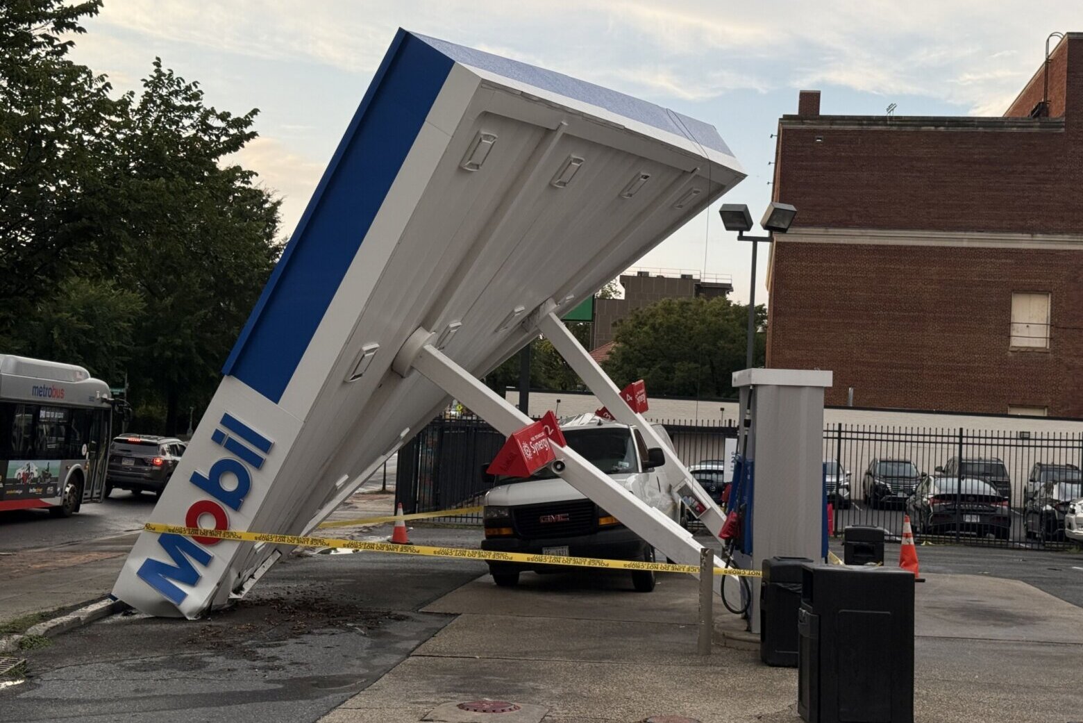
Scattered thunderstorms rolled through the D.C. region Tuesday evening, prompting flash flood warnings and even a tornado warning on the outskirts of the D.C. area.
Several areas south and east of D.C., including parts of Prince George’s, Charles and Anne Arundel counties started seeing strong storms just after 4 p.m. The Federal Aviation Administration issued a ground stop Tuesday afternoon at all three major D.C.-area airports.
One radar-confirmed tornado was spotted in the Winchester, Virginia, area.
Active weather alerts:
- Severe thunderstorm watch for southern Maryland until 12 a.m.
As showers and storms continued late into the evening, “flooding rain will be the main threat,” WTOP meteorologist Mike Stinneford said.
Slow-moving storms could produce between a half inch and 1.5 inches of rain, with isolated higher amounts possible.
After conditions improve overnight, additional showers and thunderstorms are expected Wednesday, mainly east of the Blue Ridge.
Temperatures will be in the lower to middle 80s around the Capital Beltway, with upper 70s and lower 80s farther west. The position of the cold front will determine where thunderstorms redevelop during the afternoon. Severe weather probabilities have increased along the Interstate 95 corridor and any storm that forms could become strong or severe.
Cooler and less humid air will be coming Thursday, setting up more comfortable conditions to end the week.
- Listen to WTOP online and on the radio at 103.5 FM or 107.7 FM.
- Current traffic conditions
- Weather forecast
- Closings and Delays
- Sign up for WTOP email alerts
- Get custom alerts with the WTOP app for Apple and Android phones
Full forecast
OVERNIGHT: Scattered showers and storms
Lows: 70-75
Winds: South 10-20 mph
WEDNESDAY: Scattered storms
Highs: 82-87
Winds: Northwest 5-15 mph
Gusts: 25-30 mph
THURSDAY: Mostly sunny
Highs: 78-83
Winds: North 5-10 mph
FRIDAY: Mostly sunny
Highs: 77-82
Winds: Northeast 5 mph