A cold front is expected to slowly drift across the D.C. area Wednesday, bringing partly sunny skies and a chance for showers and thunderstorms into the evening.
According to 7News First Alert Meteorologist Steve Rudin, a few storms could be stronger across Southern Maryland and the Northern Neck. Farther north and west of the District, including Western Maryland and the Interstate 81 corridor, rain chances will be much lower.
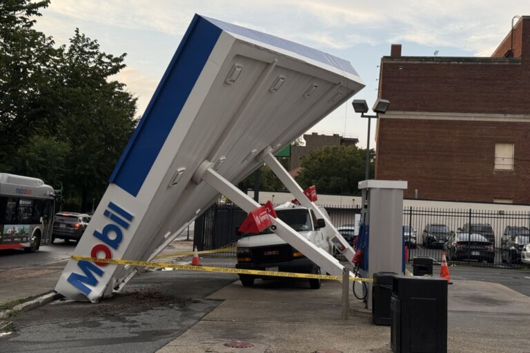
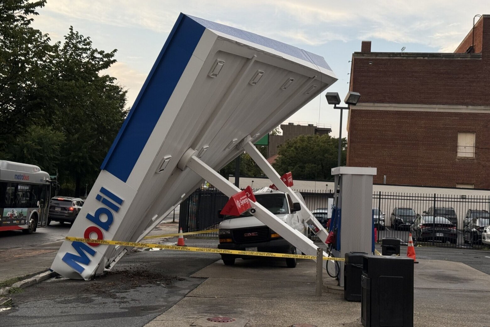
This comes on the heels of severe thunderstorms that hit the D.C. region on Tuesday night.
It is not all bad weather news. Skies are expected to partially clear Wednesday evening and overnight as winds shift. Temperatures Thursday morning will start in the 60s.
Things will improve for the weekend just in time for outdoor activities.
“Temperatures are expected to reach about 80 to 85 degrees Saturday, whether heading to the Delmarva beaches, staying in town or traveling to the mountains,” Rudin said.
“Sunday will be warmer, with highs around 85 to 90 degrees and a chance of a stray shower later in the afternoon.”
- Listen to WTOP online and on the radio at 103.5 FM or 107.7 FM.
- Current traffic conditions
- Weather forecast
- Closings and Delays
- Sign up for WTOP email alerts
- Get custom alerts with the WTOP app for Apple and Android phones
Full forecast
TODAY: Isolated storms
Highs: 83-87
Winds: West 10 mph
TONIGHT: Gradual Clearing
Lows: 60-66
Winds: North 8-12 mph
THURSDAY: Sunny
Highs: 78-82
Winds: North 5-10 mph
FRIDAY: Partly cloudy
Highs: 79-83
Winds: East 5-10 mph