WASHINGTON — If you see a bright orb breaking through the clouds on Sunday afternoon, do not be alarmed. It is called the sun and it will be returning to the D.C. area after a prolonged absence.
Quick Links:
Storm Team 4 meteorologist Somara Theodore said a few thunderstorms and showers are possible for parts of the D.C. area on Sunday morning, but by the afternoon, rain should subside and the sun will shine in the afternoon. It’s been awhile since the D.C. area has had a break from the rain.
Finally! Some sunshine around for your Sunday! Temperatures are pretty warm with a chance of scattered showers and thunderstorms in the afternoon. See you bright & early at 6 a.m. on @nbcwashington tomorrow! pic.twitter.com/XkwEZYJHMk
— Lauryn Ricketts (@laurynricketts) May 19, 2018
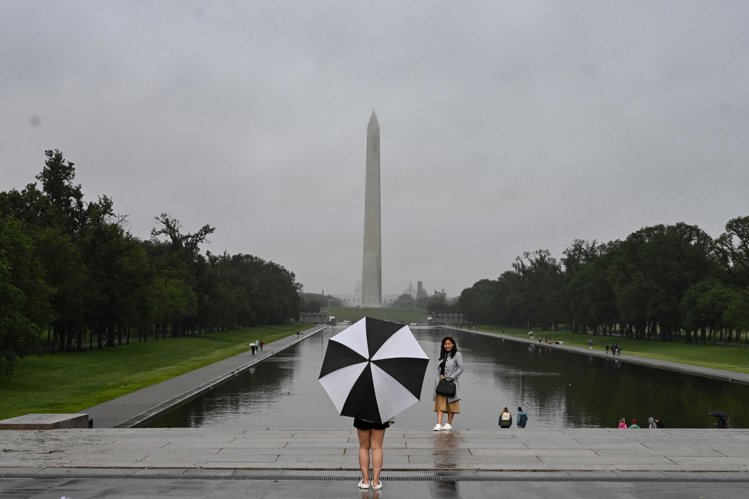
The National Weather Service said that Reagan National Airport has recorded at least a quarter of an inch of rain each of the last seven days. That is a record.
#DCA has had at least 1/4″ of #rain each of the last 7 days. This is the longest streak on record for the #DC area. Previous longest was 5 days (in 2011, 2009, 1975, 1950, 1942 and 1937).
— NWS DC/Baltimore (@NWS_BaltWash) May 20, 2018
The previous record was five days, which happened as recently as 2011.
What to expect on Sunday
[related_gallery align=”right”]Sunday should be a decent break from the rain, though Sunday morning might start off a bit foggy in some areas. “Any patchy fog this morning will continue to dissipate through the morning with partly sunny skies through day,” said Storm Team 4 meteorologist Lauryn Ricketts. Rickets said a few isolated showers and thunderstorms are possible on Sunday afternoon, but any rain will be highly isolated. Temperatures will be noticeably warmer, with highs getting into the mid to upper 80s across the D.C. area.
Current Warnings
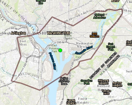
From 6 p.m. Sunday to 6 p.m. Monday, a coastal flood advisory in is effect in D.C. The weather service said there will be a prolonged period of at least minor flooding with moderate flooding during high tide through Sunday evening, especially north of Hains Point. Additional minor to moderate flooding is possible on Monday as well. The unprotected area on the Southwest Waterfront at the D.C. Seafood Market is expected to see some flooding and water is expected to approach parts of the Hains Point Loop Road, which could close. The next high tide at Washington Channel will be at 1:31 AM and at 1:43 PM Monday. The weather service also said that water is expected to approach buildings near King Street and Union Street.
Radar
Forecast
Sunday: Partly sunny, hot and humid with isolated afternoon thunderstorms. Monday: Partly sunny, warm and not as humid. Late evening showers/storms possible. Highs in the lower 80s. Tuesday: Chance for showers. Temps in the upper 70s, near 80.