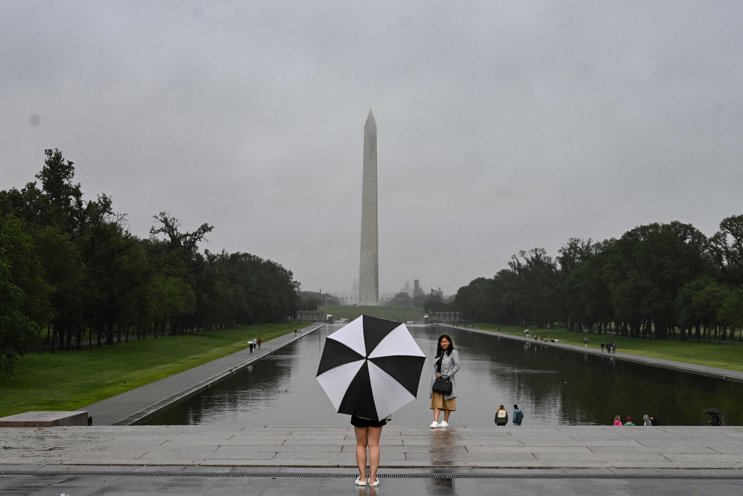
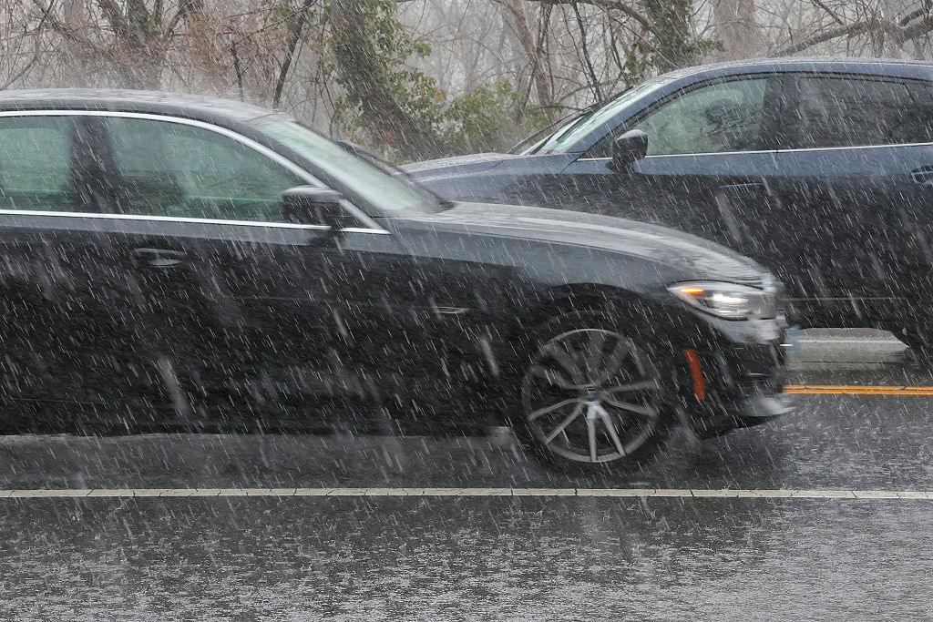
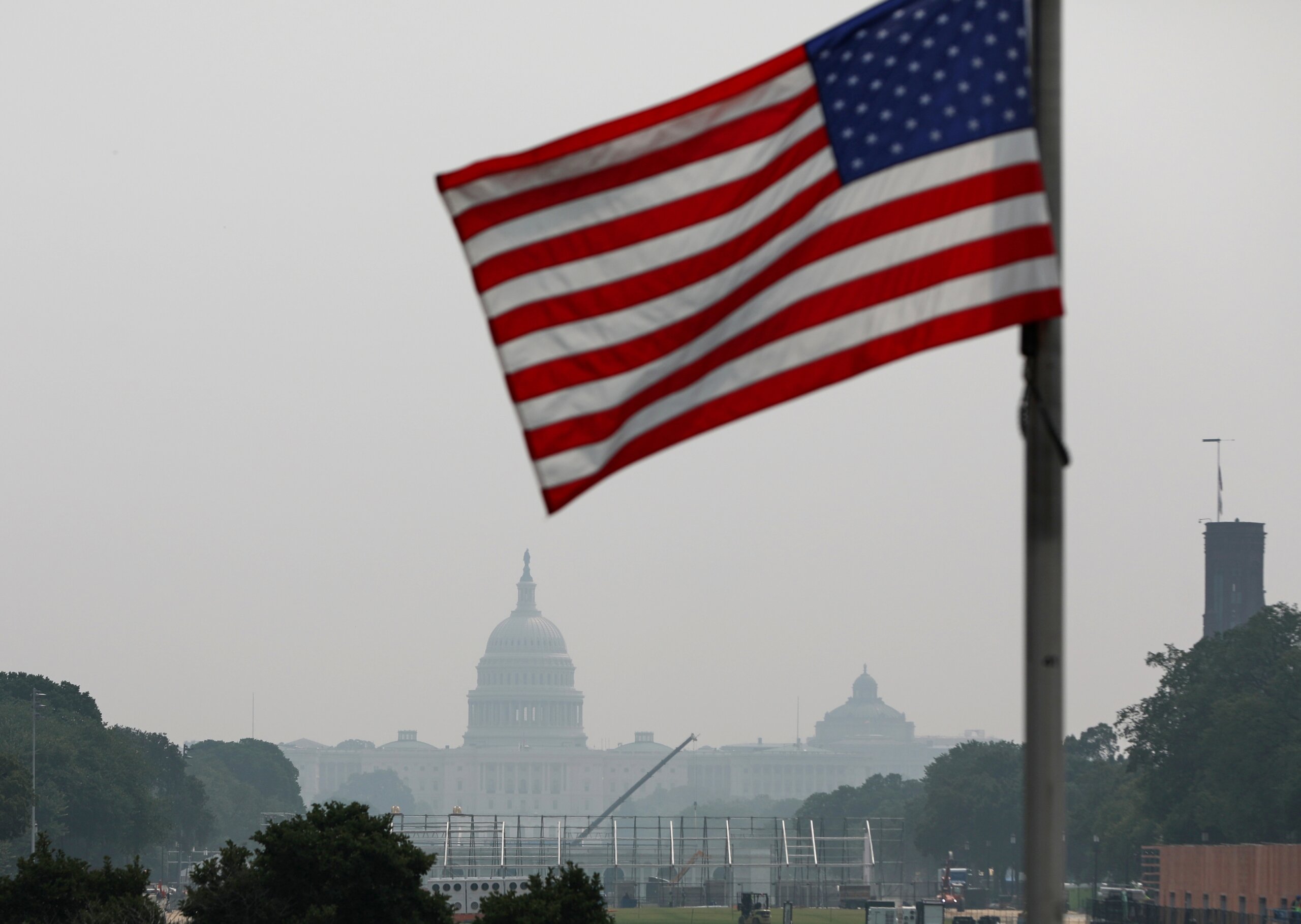
WASHINGTON — After nearly setting a record for heat, the D.C. area is cleaning up following the season’s first thunderstorms to hit the area on Saturday.
Temperatures reached the low 90s on Saturday, which challenged the record high of 93 degrees set back in 1914.
The heat, along with the cold front just to our north, was the perfect stew for active/severe weather, said Storm Team4’s Somara Theodore.
The National Weather Service issued severe thunderstorm watches and warnings for D.C. and parts of Maryland and Virginia, as well as a tornado watch for parts of Maryland.
The severe weather caused U.S. 50 at Chesapeake Bay Bridge to close in both directions for more than an hour due to high winds. There were also several power outages in the area.
The National Weather Service said Saturday’s storms brought damaging winds, large hail, heavy rainfall and frequent lightning to the areas.
In Catonsville, Maryland, hail the size of a golf ball fell; and wind gusts reached 62 mph in Annapolis, the National Weather Service said.
Sunday will be significantly cooler with waves of showers and storms, some of which could be strong.