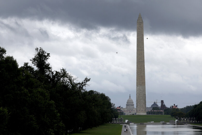
WASHINGTON — Much of the D.C. region woke to a thick blanket of fog Saturday morning. The National Weather Service issued a “dense fog advisory” for most of the morning. The warning included D.C. and its surrounding areas in Maryland and Virginia. Visibility was reduced to less than one quarter mile in some areasa, and the service advised drivers to slow down, use headlights and try not to tailgate. 
#DenseFogAdvisory extended till 11 am, and expanded to include southern Maryland and the northern foothills of Virginia. Drive with caution this morning! pic.twitter.com/hdNq3HtaCV
— NWS DC/Baltimore (@NWS_BaltWash) February 24, 2018
Though not a complete washout there will be plenty of chances for rain this weekend. The highest chances come from this afternoon until tomorrow morning but drops will be possible at just about any time. Look at those temp! Averages are now 49/33. pic.twitter.com/QFD7IXfksK
— Chuck Bell (@ChuckBell4) February 24, 2018
Storm Team4’s Lauryn Ricketts said temperatures should rise Saturday. However, areas to the north may remain in the 50s, while south of D.C., some parts of central Virginia could touch the 70s. With the chance of rain throughout the day, it may not be the best-looking day for outdoor activities. Looking ahead to next week, temperatures should hold steady with highs in the upper 50s and into the 60s.
- Sunday: Warmer with a chance of showers later in the day. Highs around 70 degrees.
- Monday: Showers south of the area, but clouds moving out. Highs in the mid-50s.
- Tuesday: Sunny, with highs close to 60.