“When I lost my sight, I lost the ability to explore the world around me,” said Tom Pey, the CEO and president of Waymap.
He lost his sight when he was 39 years old. Now, he said, people who are blind or visually impaired don’t have to be limited on the places they go.
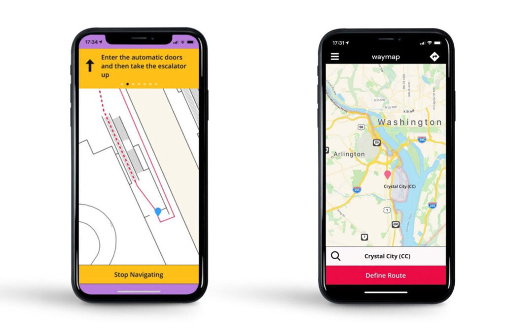
Waymap is a navigation app that works indoors and out, and has been installed at three Metro stations in the D.C. area: Braddock Road, Brookland and Silver Spring.
Started in the United Kingdom through the Royal Society for Blind Children, Waymap had already been tested or implemented in cities across Europe and North America before coming to the D.C. metro.
“By the first quarter of next year, we hope that the entire WMATA network will be fully inclusive” Pey said.
That would include nearly 1,000 bus stops, in addition to Metro stations.
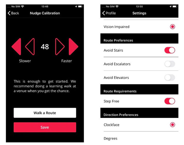
The app uses a combination of software and spatial data to track people with enough accuracy to give directions such as, “In three steps, turn left for the stairs.”
The following video demonstrates how Waymap works with city transit systems.
At Tuesday’s unveiling at the Brookland Metro station, D.C. resident and Metro rider Shirell Scott explained that she had lost her sight during the pandemic. Scott said she had a chance to put the Waymap app to work.
“I have that independence back! As long as app is on, I can go into the Metro and do everything that I did before,” she said.
Eric Bridges, executive director of the American Council of the Blind, explained that while sighted colleagues and friends often “want to help, to give direction, to offer assistance,” that is not enough for those with vision loss or impairment.
“All of that is fine, but being able to do this independently, without the need of someone else, is true independence,” Bridges said. “And there’s a freedom to that you can’t really put a price on.”
The app provides turn-by-turn directions and, according to Waymap, is accurate up to 3 feet. The current version of the app is designed to assist people who are blind or who have visual impairments, but future plans include making the app useful to people with other mobility challenges.
The project to make Waymap assistance available throughout the Metro system is part of a public-private partnership involving Metro, Verizon and Columbia Lighthouse for the Blind.