
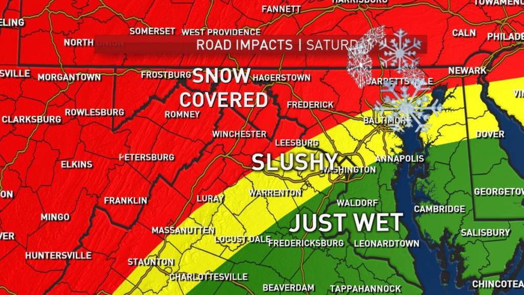
WASHINGTON — Despite the mild weather Saturday morning, clouds moved in, the skies grew dark across the D.C. region, and rain and snow moved in. The wintry mix left behind slushy, wet roads and temperatures near the freezing mark raising concerns about refreezing Sunday morning. The National Weather Service warned of patchy ice on sidewalks and roads, especially north and west of the immediate D.C. area.
With temperatures near or below freezing across portions of the region, watch for patchy ice on area sidewalks and roads early this morning, especially north/west of the immediate DC/Baltimore metros. Any issues will melt away shortly after sunrise with highs approaching 50F. pic.twitter.com/EY8C7qPSWX
— NWS DC/Baltimore (@NWS_BaltWash) February 18, 2018
But temperatures at or near 50 are expected later in the day. The National Weather Service issued a winter weather advisory for the D.C. metro area at 5 p.m. Saturday lasting through midnight.
WTOP Weather Center WTOP Traffic Center WTOP Listen Live
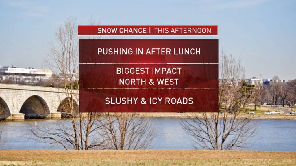
The arrival of the precipitation caused some traffic travel headaches Saturday evening. A number of weather-related crashes were reported by Loudoun County Sheriff’s Office, including a major accident on Sully Road/Old Ox Road. Commuters should plan on slippery road conditions and reduced visibility. The National Weather Service urges drivers to use caution while driving. An area of low pressure brought in the mix of snow, rain, sleet and some pockets of freezing rain across the D.C. area Saturday afternoon and into the evening. Northern Maryland is expected to be the worst affected area with 2–4 inches of snow possible.
As this mixed precip. continues to fall and continues to melt and some of it continues to evaporate, the air and the ground will continue to cool. Temps will fall slowly from here on through the evening. pic.twitter.com/9Vlvb1GFPN
— Matt C Ritter WTOP (@MetMattRitter) February 17, 2018
Of course it was near 70° a couple days ago, and now there’s snow falling & sticking… sure, why not? @WTOP pic.twitter.com/ASmobx8ja4
— Brandon Millman (@BrandonMillman) February 17, 2018
In West Virginia, Gov. Jim Justice declared a state of emergency early Saturday after heavy rains triggered flooding throughout the state. The storm is expected to affect West Virginia through the weekend and the state’s National Guard is on standby. All the rain and snow in the D.C. metro area is expected to end by midnight. Sunday will have clear sunshine with temperatures rising into the lower-50s.
Looks like this will end up being a “warmer than average” February. Our first 70° was yesterday and there’s a chance for 2 more next week. Tomorrow’s snow will be 1-2″ at most. Temps will be cold enough to allow snow tomorrow, but just barely. pic.twitter.com/Y16WDXasPO
— Chuck Bell (@ChuckBell4) February 16, 2018
Forecast
There might be some icy patches early Sunday morning, but the clouds will decrease and temperatures will reach the 50s. Some light showers are possible on Monday with highs in the mid-50s. Tuesday will feel like spring with temperatures getting into the 70s.
Current Conditions